Trusted
Proven Project Delivary.

Certified
Industry Standards
Security
Accurate & Secure Data
Expertise
Skilled Professionals


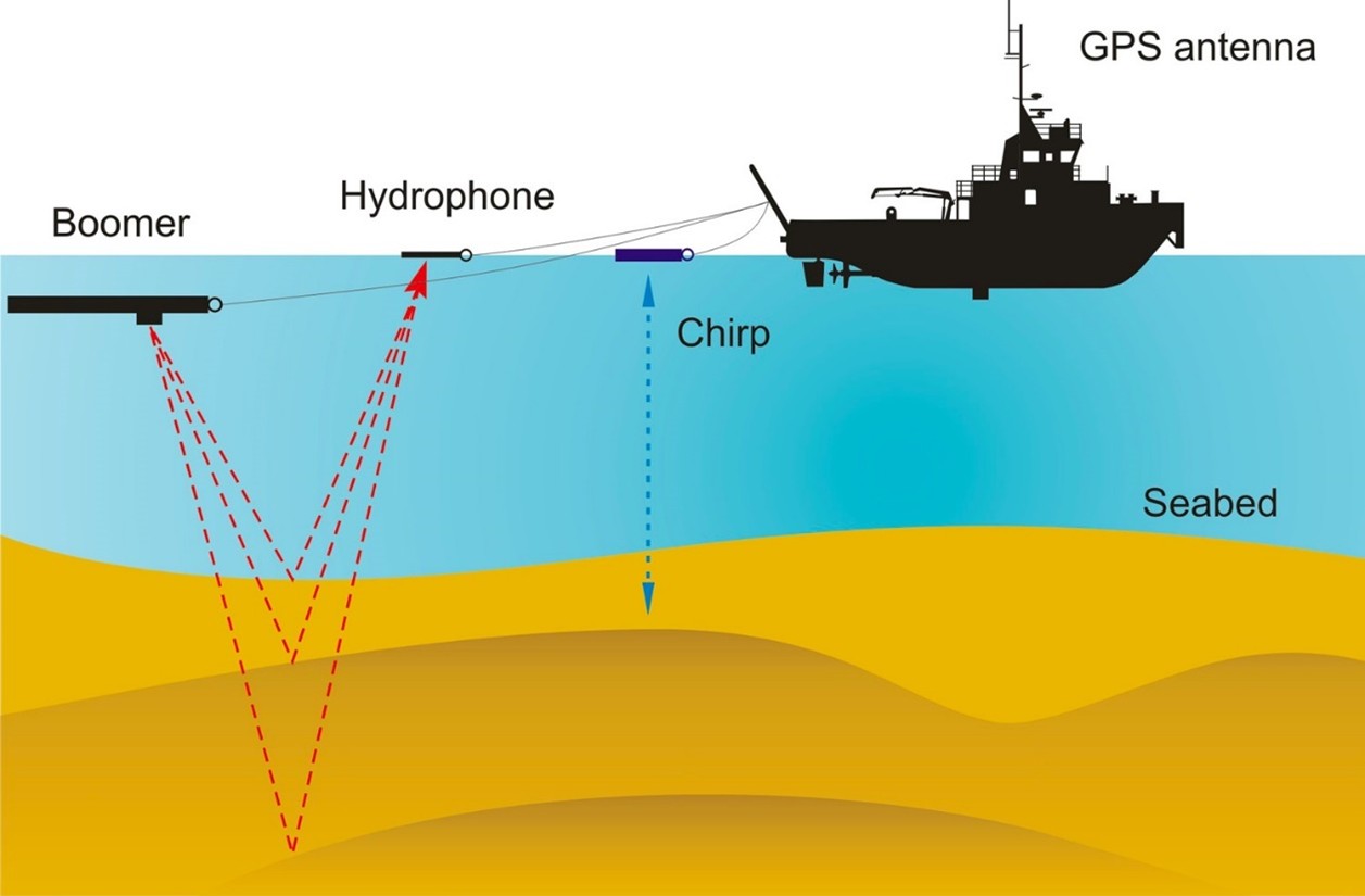
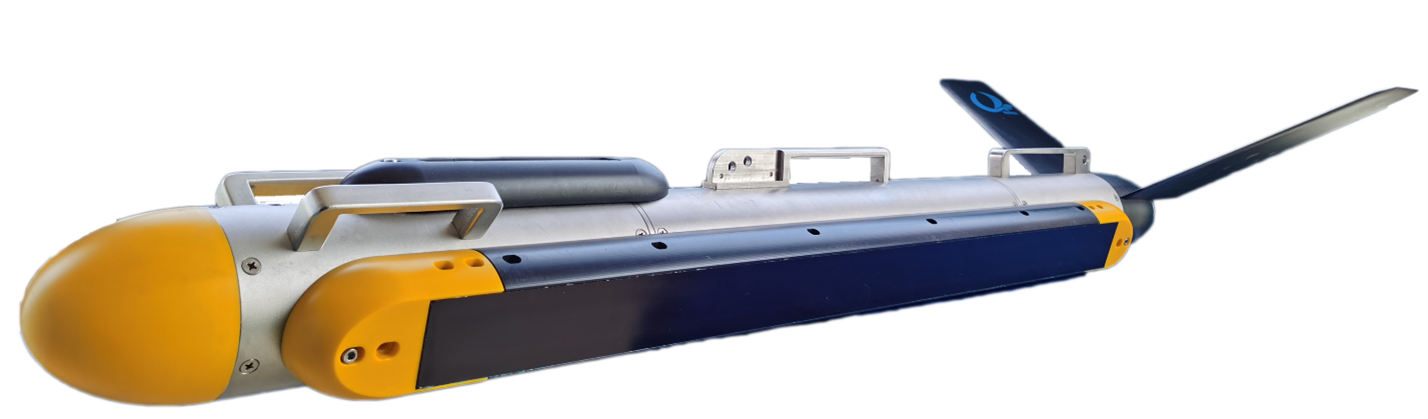
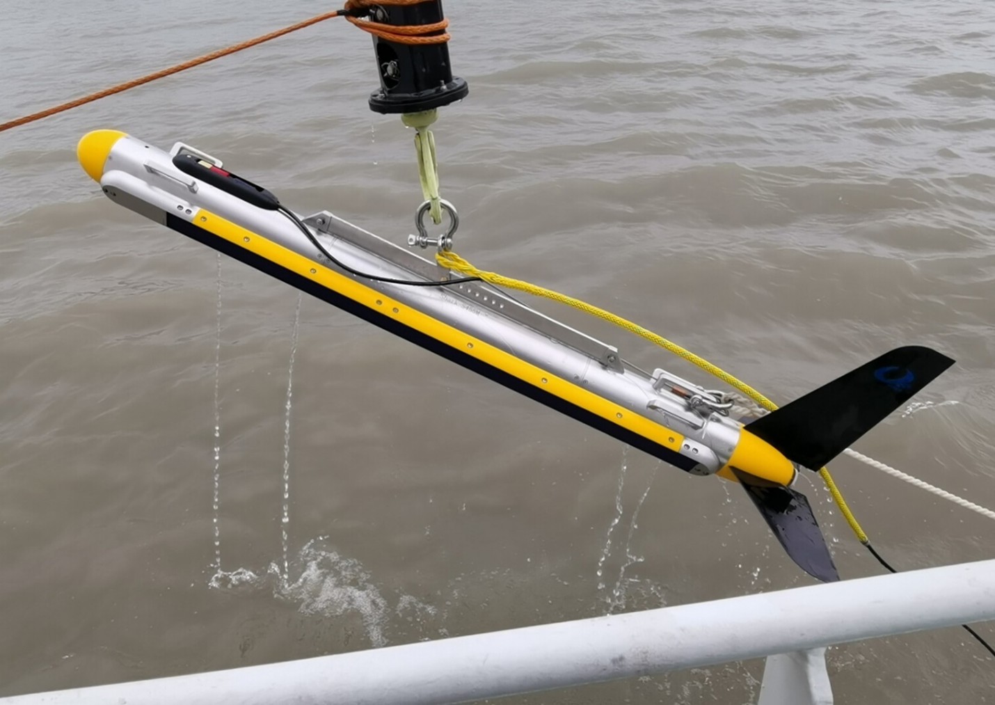
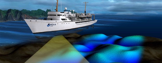
Land and Marine Geophysical Surveys
Land and marine geophysical surveys are conducted to acquire accurate subsurface and seabed data.
- Seismic surveys
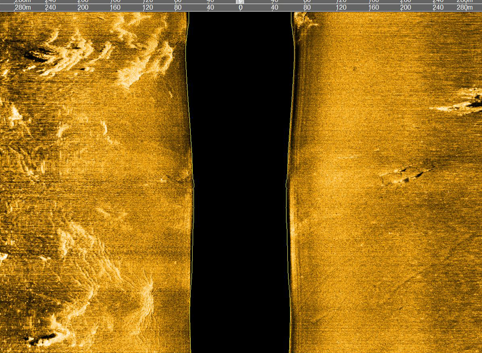
- Sidescan sonar
- Sub-bottom profiling
- Magnetic surveys
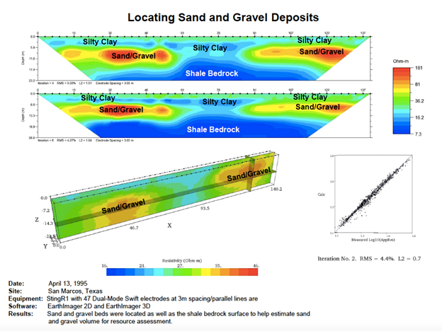
- Electrical resistivity
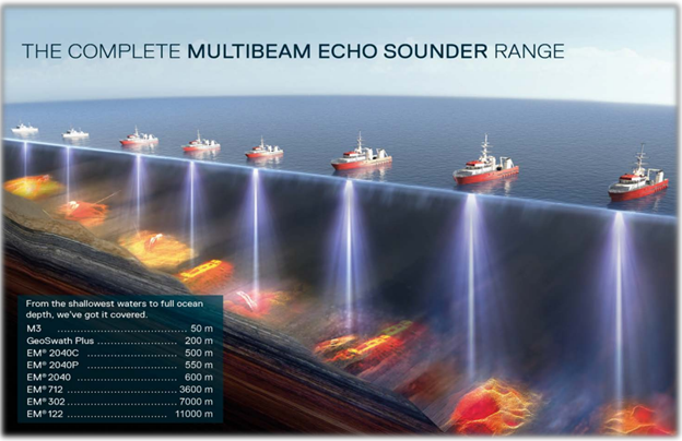
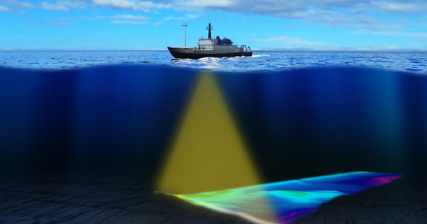
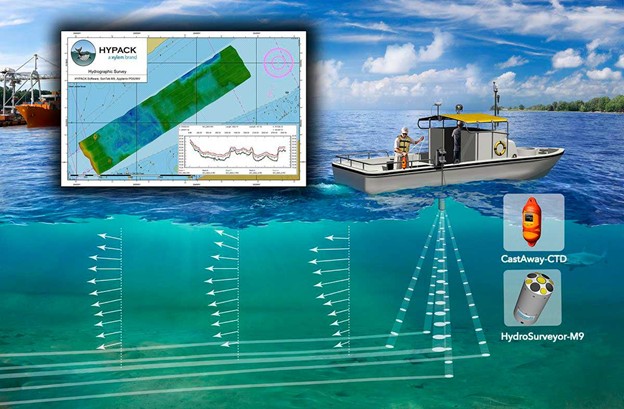
Bathymetry & Hydrographic Surveys
Precise measurements of water depth and underwater terrain for navigation and engineering projects.
- Multibeam surveys
- Tide monitoring
- Hazard detection
- Dredging volumes
- Cable routes
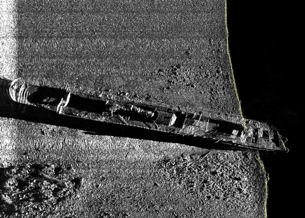
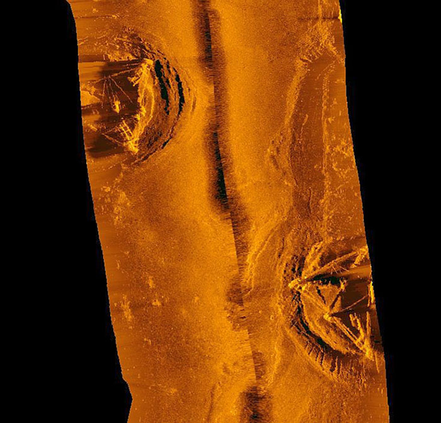
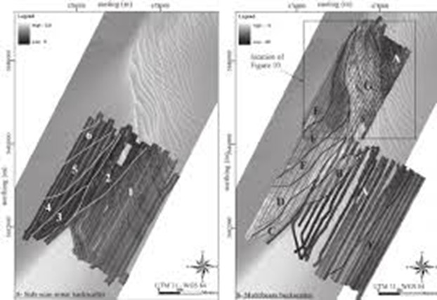
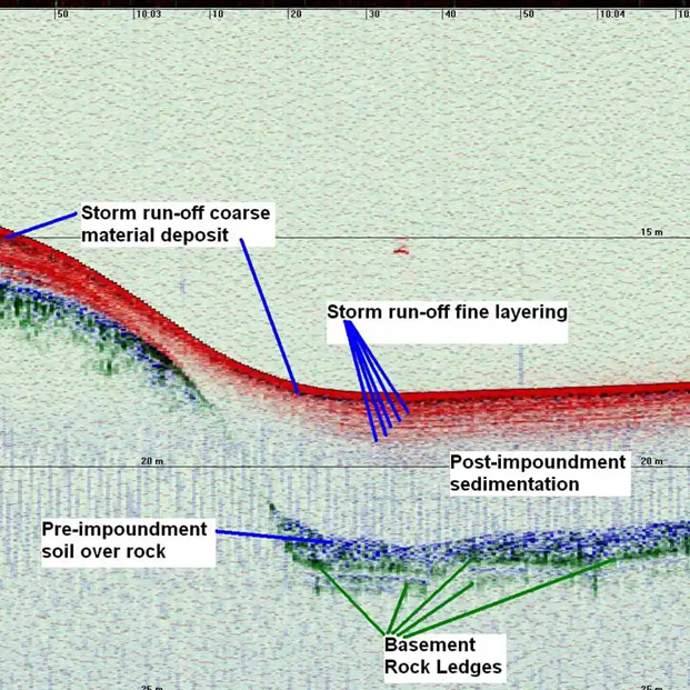
Seabed Mapping & Site Characterization
Our seabed mapping and site characterization services provide a detailed assessment of seafloor features, sediment properties, and site conditions.
- High-resolution bathymetric mapping
- Side scan sonar imaging
- Sub-bottom profiling
- Sediment sampling & testing
- 3D site modelling & GIS
- Habitat mapping
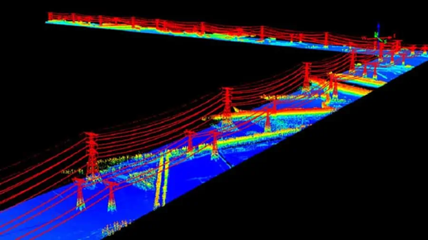
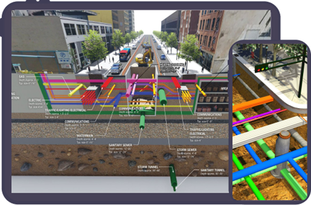
Power and Utility Surveys
Power and utility surveys support planning and installation of power infrastructure by providing accurate route and risk data.
- Route planning & corridor mapping
- Underground utility detection
- Subsea cable surveys
- Risk & hazard identification
- Geospatial network planning
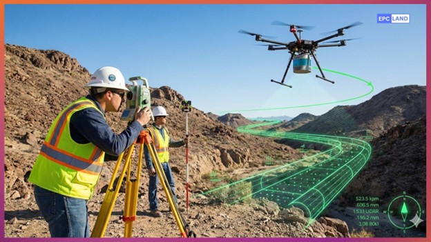

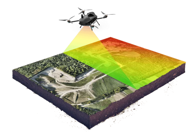
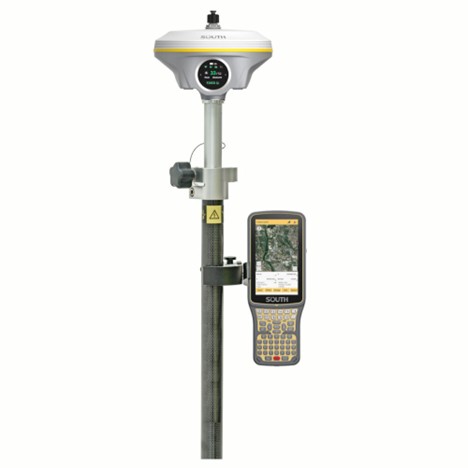
Topographic and Land Resource Mapping
Precise mapping of surface features such as elevation, contours, and man-made structures to support land development and infrastructure projects.
- Ground & aerial LiDAR scanning
- GPS / RTK topographic surveys
- Digital terrain model (DTM)
- Boundary & cadastral mapping
- Construction layout support
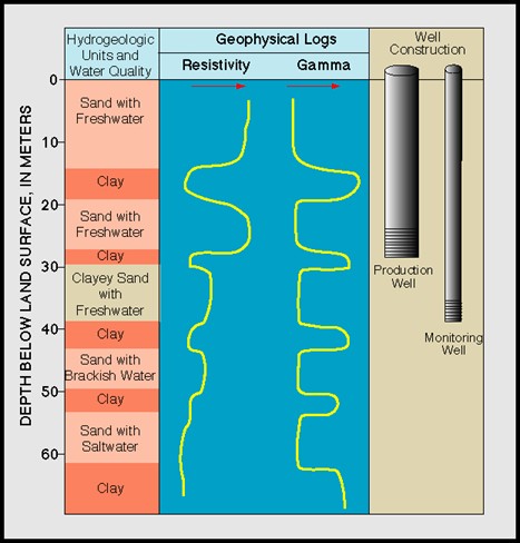
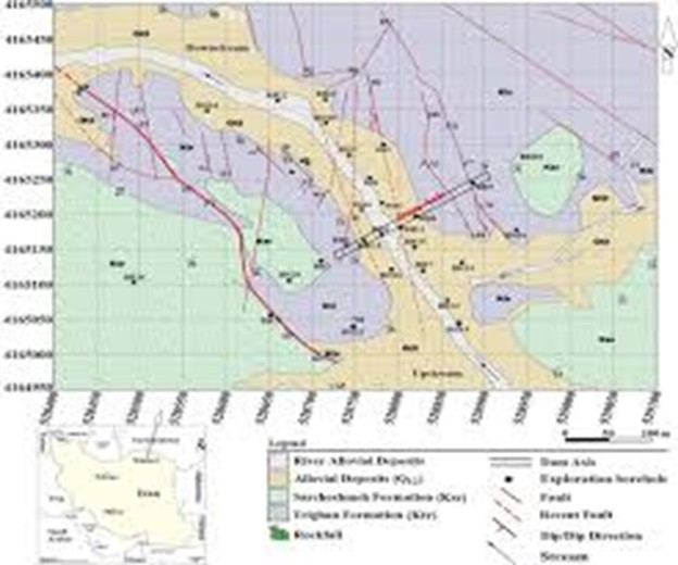
Groundwater Surveys & Dam Site Inspection
Subsurface investigations to evaluate groundwater potential and dam site conditions for civil engineering and water resource management.
- Geophysical groundwater mapping (ERT, CPT)
- Seepage zone identification
- Borehole logging & test wells
- Dam foundation assessment
- Environmental monitoring

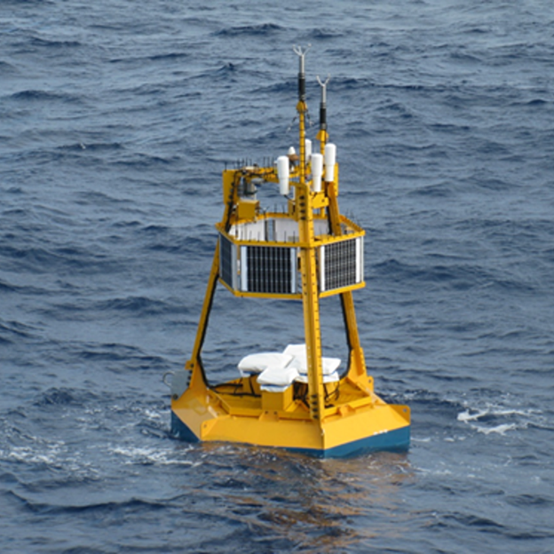
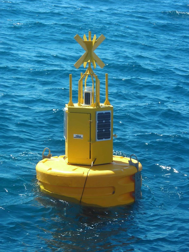
Metocean Monitoring
Collection and analysis of meteorological and oceanographic data including wind, waves, tides, and currents for offshore design and operational safety.
- Wave height & period measurement
- Current profiling using ADCP
- Wind speed & direction monitoring
- Tide gauges & sea level monitoring
- Environmental data analysis
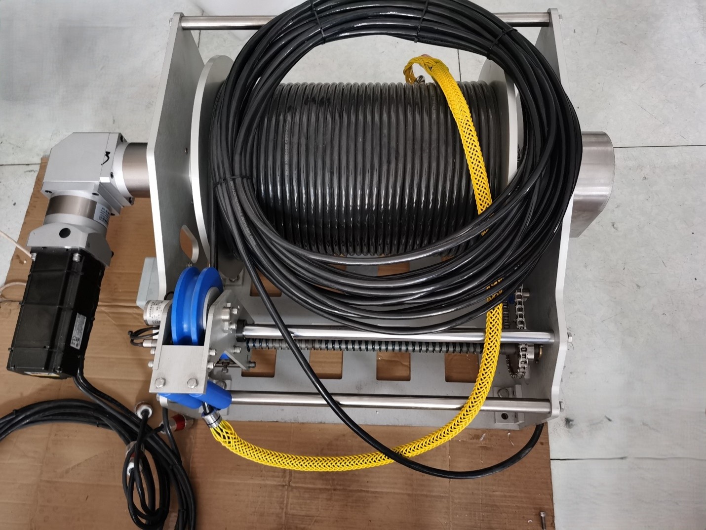
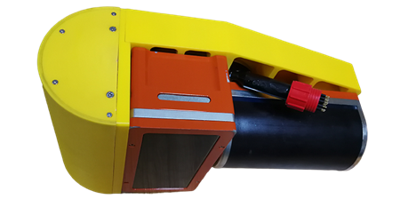
Marine Geophysical Equipment Sales
Supply and technical support of professional marine geophysical survey equipment for surveyors, contractors, and research organizations.
- Marine survey equipment supply
- System installation & integration
- Commissioning & training
- Technical support
- Maintenance & servicing