Survey Services for Land, Offshore, and Coastal Projects
Delivering precise, data-driven survey solutions for land, offshore, nearshore and coastal developments. We provide advanced marine geophysical, hydrographic and geotechnical survey services to support safe, efficient and compliant marine projects worldwide.
Trusted by offshore energy, infrastructure, and marine construction industries
Advanced survey technology and experienced marine professionals
Our Services
We provide a comprehensive range of land and marine survey solutions using advanced technology and experienced professionals to support infrastructure, energy, water resource, and marine projects.
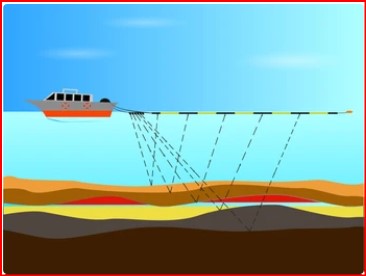
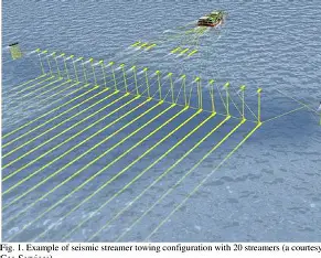
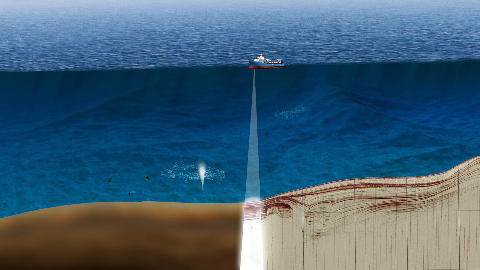
Land and Marine Geophysical Surveys
Strong experience in subsurface investigations for onshore, offshore, and coastal projects using proven geophysical methods.
Bathymetry & Hydrographic Surveys
Accurate seabed depth measurement and hydrographic mapping supporting navigation, dredging, and offshore development.
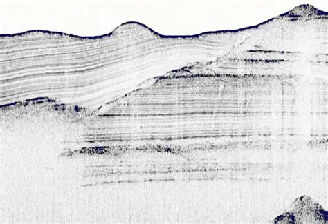
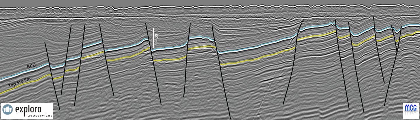
Seabed Mapping & Site Characterization
Detailed assessment of seabed features, sediments, and site conditions for marine engineering projects.
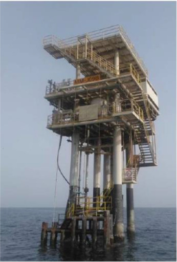
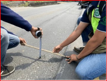
Power & Utility Surveys
Reliable survey support for planning, routing, and protection of power and utility infrastructure.
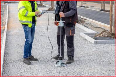
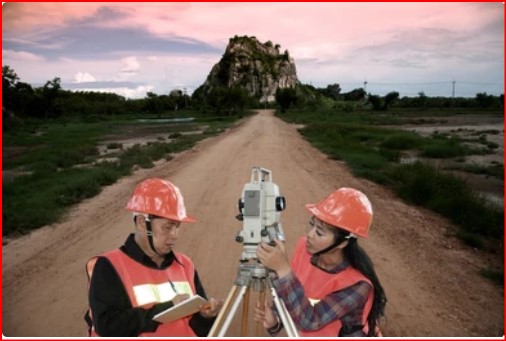
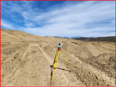
Topographic & Land Resource Mapping
High-resolution surface mapping and terrain modeling for land development and infrastructure planning.
Groundwater Surveys & Dam Site Inspection
Geophysical evaluation of groundwater potential, seepage zones, and dam site conditions.
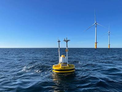
Metocean Monitoring
Collection and analysis of wind, wave, current, and tidal data for offshore design and operations.
Marine Geophysical Equipment Sales
Supply of reliable marine geophysical survey equipment with technical guidance to support professional survey operations.
About us
We are a professional land and marine geophysical survey company providing accurate, reliable survey solutions for onshore, offshore, and coastal projects. Our services support infrastructure development, energy projects, water resource management, and marine engineering by delivering high-quality geophysical, hydrographic, and environmental data. Using advanced survey technologies and proven methodologies, we help clients understand site conditions, reduce risk, and make informed project decisions.
Our team consists of experienced surveyors, geophysicists, and technical specialists committed to safety, quality, and efficiency. We operate in diverse and challenging environments, adapting our approach to meet project-specific requirements while maintaining strict quality control standards. Through a combination of technical expertise, modern equipment, and a client-focused approach, we deliver dependable results you can trust.
24/7 Support
Award Winner
100% Secure
Mutual Help
Why Choose Us
Clients choose us for our technical expertise, modern equipment, and commitment to quality and safety. We focus on delivering accurate data, practical insights, and dependable service tailored to each project’s specific requirements.
Our Experience
Case Studies
Our case studies highlight a selection of completed projects where accurate survey data and professional execution contributed to successful outcomes. Each project demonstrates our ability to deliver reliable results that support planning, design, and construction decisions.
We provide accurate land-marine survey solutions to support safe and reliable offshore and coastal projects.
Surveys
High-precision surveys delivering reliable subsurface insights for marine and coastal projects.


Before You Leave
Planning a geo-marine or geospatial survey project?
Our specialists deliver accurate, compliant, and field-proven
survey solutions.
Testimonials
Referals from our professional engagements will be featured soon
Discuss Your Marine Survey Requirements
